
![]()
|
|
||||||
|
||||||
|
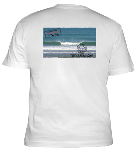
The Famouse Builders Bum Tee shirt
Select a country to Design your own Surf wear |
||||||
|
|
||||||
|
|
||||||
|
|
||||||
|
|
||||||
|
|
||||||
|
|
||||||
|
|
||||||
|
|
||||||
 |


|
You
dont need a PayPal account to order .
|
||
 |
||
 |
||
|
|
||
|
|
||


|
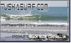
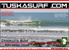
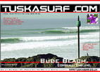
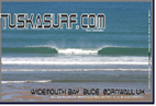
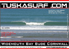
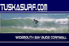
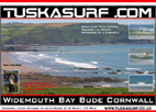
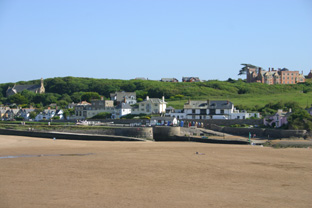
Surf Clothing Surf Forecast Surf Photos Surf Webcams for Bude Cornwall UK.
Bude is prime North Cornwall Coast surfing territory, less rugged than further down the more distinctive Cornwall coast, and with a Devon cream tea flavour. We're talking some of the cleanest beaches in the UK here in Bude, with the superb family beach plus natural made seawater pool when the tides out at Summerleaze and excellent surfing at Crooklets Beach, Bude is perfect for family beach holidays with a choice of B&Bs and other Bude Accommodation. Surf Clothing Surf Forecast Surf Photos Surf Webcams for Bude & Widemouth Bay Cornwall UK. All the best Surf forecasts and surf webcam all in one place
|
||||||||||||||||||||||||||||||||||||||||||||||||||||||||||


|
||||||||||
|
Surf
Clothing from all over the World. Copyright © 2008 Tuska Surf
Co. All Rights Reserved
|


